Town of Clinton Significant Habitats Report
Rural landscapes in Dutchess County and surrounding areas have been undergoing rapid change as farms, forests, and other undeveloped lands are converted to residential uses. Most of this development has occurred without knowledge of the biological resources that may be lost or harmed. The consequences include widespread habitat degradation, habitat fragmentation, loss of native biodiversity, and loss of ecosystem services to the human community.
Although many land-use decisions in the region are necessarily made on a site-by-site basis, the long-term viability of biological communities, habitats, and ecosystems requires consideration of whole landscapes. Very little biodiversity information is available, however, for large areas such as entire towns, counties, or watersheds, making it difficult for landowners, developers, municipal planners, and others to incorporate biodiversity protection into day-to-day decision making.
Biologist Christopher Graham conducted an assessment of the biodiversity of the Town of Clinton from June 2011 through November 2012; biologist Kristen Bell Travis contributed to preliminary mapping, proofreading of map data, and map and report preparation; and Gretchen Stevens, director of Hudsonia’s Biodiversity Resources Center, participated in all aspects and supervised the project. Through map analysis, aerial photograph interpretation, and field observations, they created a map of ecologically significant habitats in the Town of Clinton. Some of these habitats are rare or declining in the region, some may support rare species of plants or animals, while others are high quality examples of common habitats or habitat complexes. The emphasis of this project was on identifying and mapping general habitat types; they did not conduct species-level surveys or map the locations of rare species.
What is Biodiversity?
The concept of biodiversity, or biological diversity, encompasses all of life and its processes, including ecosystems, biological communities, populations, species, and genes, as well as their interactions with each other and with the non-biological components of their environment, such as soil, water, air, and sunlight. Protecting native biodiversity is an important component of any effort to maintain healthy, functioning ecosystems that sustain the human community and the living world around us. Healthy ecosystems make the earth habitable by moderating the climate, cycling essential gases and nutrients, purifying water and air, producing and decomposing organic matter, sequestering carbon, and providing many other essential services. They also serve as the foundation of our natural resource-based economy.
The decline or disappearance of native species can be a symptom of environmental deterioration or collapses in other parts of the ecosystem. While we do not fully understand the roles of all organisms in an ecosystem and cannot fully predict the consequences of the extinction of any particular species, we do know that each organism, including inconspicuous ones such as fungi and insects, plays a unique role in the maintenance of biological communities. Maintaining the full complement of native species in a region allows an ecosystem to withstand stresses and adapt to changing environmental conditions.
What are Ecologically Significant Habitats?
For the purposes of this project, a “habitat” is simply the place where an organism or population lives or where a biological community occurs, and is defined according to both its biological and non-biological components. Individual species will be protected for the long term only if their habitats remain intact. The local or regional disappearance of a habitat can lead to the local or regional extinction of species that depend on that habitat. Habitats that we consider to be “ecologically significant” include:
Habitats that are rare or declining in the region.
Habitats that support rare species and other species of conservation concern.
High-quality examples of common habitats (e.g. those that are especially large, isolated from human activities, old, or lacking harmful invasive species).
Complexes of connected habitats that, by virtue of their size, composition, or configuration, have significant biodiversity value.
Habitat units that provide landscape connections between other important habitat patches.
Because most wildlife species need to travel among different habitats to satisfy their basic survival needs, landscape patterns can have a profound influence on wildlife populations. The size, connectivity, and juxtaposition of both common and uncommon habitats in the landscape all have important implications for biodiversity. In addition to their importance from a biological standpoint, habitats are also manageable units for planning and conservation over large areas such as whole towns. By illustrating the locations and configurations of ecologically significant habitats throughout the Town of Clinton, the habitat map that accompanies this report provides valuable ecological information that can be incorporated into local land-use planning and decision making.
Study Area
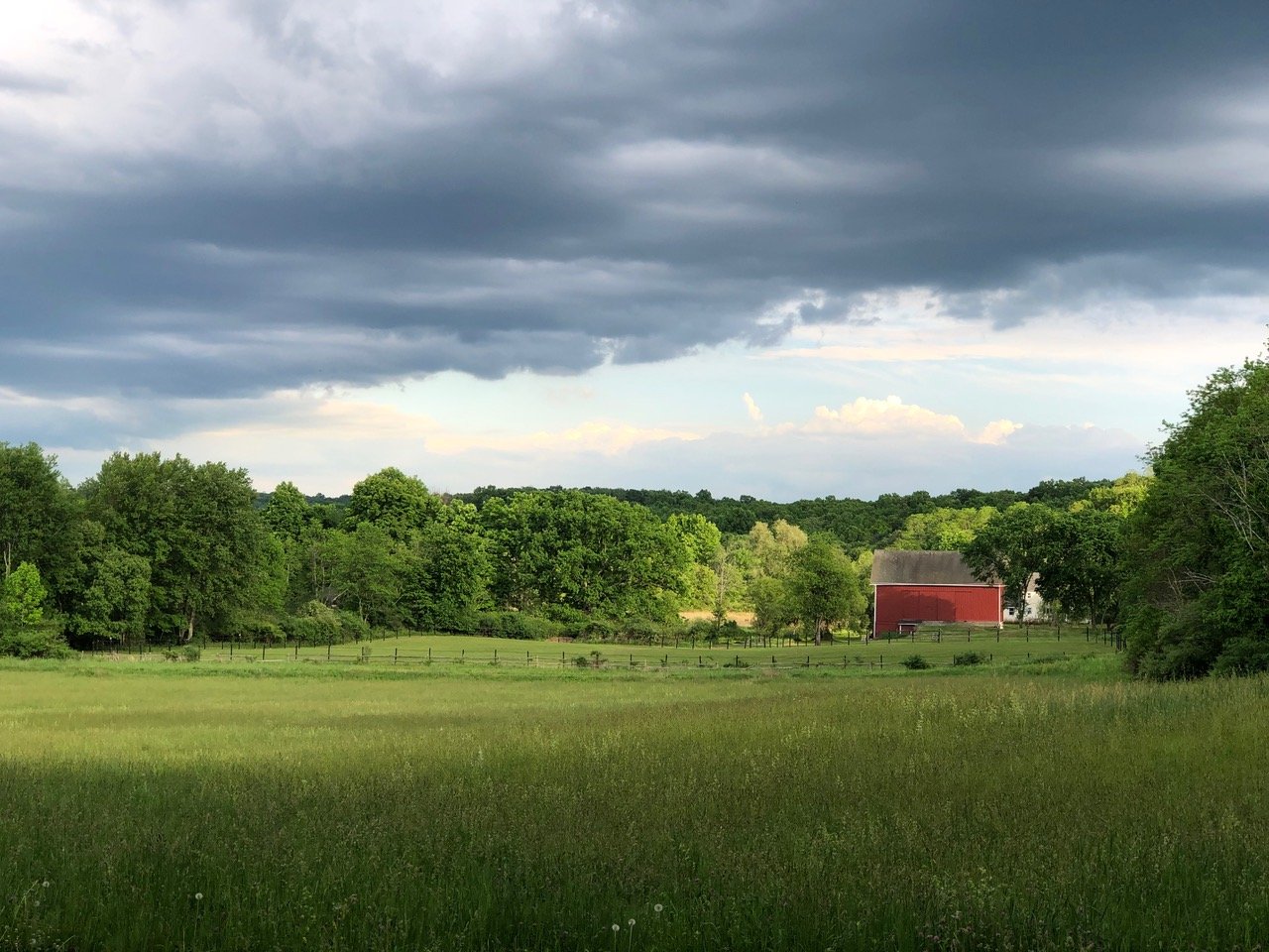
The Town of Clinton is located in central Dutchess County in southeastern New York. It encompasses approximately 39 mi2 (101 km2 ) and has a population of roughly 4,300 residents. The town’s landscape largely comprises rolling hills, low, rocky ridges, myriad wetlands, and stream valleys. All of the land in Clinton drains into the Hudson River, via one of four main tributaries (Figure 1). Little Wappinger Creek flows north to south, roughly dividing the town in half. A short stretch of Wappinger Creek flows through the southeast corner of Clinton and is joined by Little Wappinger Creek just south of the town line. Crum Elbow Creek forms much of the western town boundary. Several intermittent streams and one perennial stream in southwestern Clinton flow into Fallkill Creek, though the Fallkill itself does not flow through Clinton. Just west of Little Wappinger Creek in the northern half of town, a valley known as the Milan Window cradles three large natural water bodies: Long Pond, Mud Pond, and Silver Lake. The Elizaville thrust block, a layer of older metamorphic rocks that has been pushed up and over younger bedrock, underlies northwestern Clinton north of Schultz Hill Road. Elevations in Clinton range from 230 feet (ft) (70 meters [m]) above mean sea level along Little Wappinger Creek at the southern town boundary to 790 ft (240 m) at the top of Schultz Hill. Most areas with higher elevations (over 600 ft) are in the northeastern and northwestern parts of town. Large wetland complexes are scattered throughout the town, along streams and in glacial depressions.
The Milan Window is underlain by calcareous bedrock—limestone, dolostone, shale, and chert. This older bedrock has been exposed by erosion of the younger layers prevalent in the rest of Clinton. There is another strip of this older, calcareous bedrock in the southeast corner of town. Bedrock throughout the rest of town is potentially calcareous, and is composed of various combinations of shale, schist, argillite, chert, siltstone, slate, conglomerate, quartzite, and greywacke (Fisher et al. 1970); see Figure 2. The surficial material is primarily glacial till, and there are large areas of exposed or nearly exposed bedrock. Outwash sand and gravel occur in lower-lying areas (the southeast corner, the Milan Window, and some areas near Little Wappinger Creek), and recent alluvium along Wappinger and Little Wappinger creeks (Cadwell et al. 1989). Around the intersection of Hollow and Fiddlers Bridge roads, is a large kame—a glacially-deposited mound of sand, gravel, and till.
Primary land uses in Clinton are residential, equestrian uses, and agriculture (orchards, hayfields, pastures, and other farm uses). Other major uses include gravel mines, forestry for timber harvest, and hunting preserves for upland game and waterfowl. Residential development is fairly evenly distributed, with moderate concentrations around and south of the hamlet of Clinton Corners; around the intersection of Hollow Road and Route 9G; around the intersection of Centre, Bulls Head, and Slate Quarry roads; and in an area roughly bounded by Bulls Head Road, Nine Partners Road, and Centre Road in northeastern Clinton.
Historical population centers—Frost Mills, Pleasant Plains, Clinton Hollow, Hibernia, Schultzville, and Bulls Head—were largely based around mills, and exist today as small clusters of houses. Agricultural activity is also distributed throughout the town, but is much more common south of Fiddlers Bridge Road, Schultzville Road, and Willow Lane. Most land parcels are fairly small (7 ac [2.8 ha] or less) and privately owned. There are 32 privately owned land parcels of 100 ac (40 ha) or more. About 380 ac (154 ha) are publicly owned (by the Town of Clinton and by New York State along the Taconic Parkway), and The Nature Conservancy, a private entity, owns 56 ac (23 ha; Zipfeldberg Bog).
Significant Habitat Report Maps
Visit the Town’s website for a full list of maps.