Town of Clinton Natural Resources Inventory
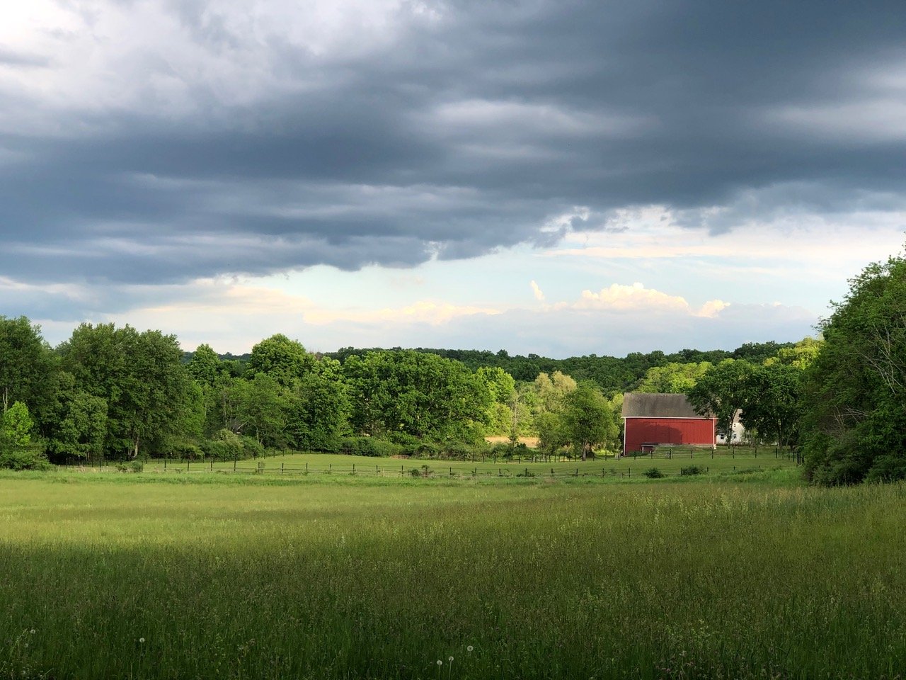
The Town of Clinton is a rural community in central Dutchess County, New York. It encompasses 38.8 square miles and has a population of 4,037, according to the 2020 census. Its varied topography and wide dispersal of streams and wetlands, along with a traditional style of small hamlets for commercial activity, have had significant influence on development patterns and helped sustain the rural atmosphere that is attractive to residents.
Clinton’s forests, meadows, wetlands and streams are not only habitat for abundant and even rare wildlife and plants, but also provide many vital benefits to people, especially in this era of rapid climate change. These ecosystems help keep air and drinking water clean, moderate temperature, filter pollutants, absorb floodwaters and provide pollination for agricultural crops. They also present opportunities for outdoor recreation and education and create the scenery and sense of place that is valued by the community.
This Natural Resources Inventory (NRI), completed in early 2024, identifies and describes the naturally occurring resources located in the Town of Clinton, including climate, topography, geology and soils, water resources, and habitat, as well as farmland and conserved or publicly owned land.
By bringing this information together in one place, the NRI can cultivate a better understanding and appreciation of the community’s natural resources. It helps identify critical environmental areas and climate adaptation strategies and can inform local land stewardship and conservation. It is the foundation for comprehensive and open space planning, zoning updates, and other municipal plans and policies for the Town.
How to Use the NRI
The NRI is a valuable land-use planning tool as well as an educational resource that documents the Town’s environment. The inventory provides an essential tool for local building, planning, and zoning by identifying sensitive land as well as biological and water resources. It discusses development considerations for land-use planning and decision-making, zoning considerations and municipal policy guidance, as well as environmental conservation.
In addition, the NRI provides property owners, developers, and their consultants with information they may need when considering the impacts their projects may have on natural resources. It can be used to address natural resources during project planning and design and help expedite the review and approval of their endeavors. It can also be used as a general reference for landowners who wish to know about resources on their property for management and stewardship.
Read or download the Natural Resources Inventory here.
View or download the maps here.
To view or download Clinton Map 12a – Town Jurisdictional Wetlands here.